
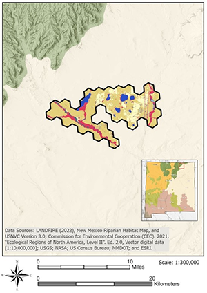
The Vermejo River COA covers approximately 10,870 ha (26,859 ac) just west of Maxwell. It includes the lower reach of the Vermejo River, along with numerous wetlands and lakes managed for wildlife north of the river.
The majority of this COA consists of privately owned land (82%), with approximately 13% managed by the USFWS and 5% by the BOR. The Maxwell National Wildlife Refuge, an Important Bird Area, is also included within the COA. Only 2% of the COA is currently protected.
The COA supports 11 native vegetation habitats, two ruderal or introduced vegetation types, and agricultural vegetation, barren areas, developed and urban spaces, and open water. The dominant habitat is Great Plains Shortgrass Prairie (61%), with Great Plains Wet Meadow, Marsh, and Playa (10%) also prevalent. Agricultural vegetation (17%), likely some of which is managed for wildlife, is also common. Perennial aquatic habitats within the COA include 28 km (17 mi) of warm-water streams and 421 ha (1,061 ac) of warm-water reservoirs.
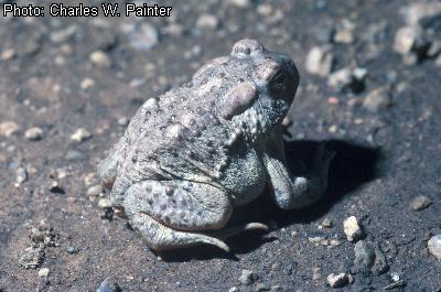
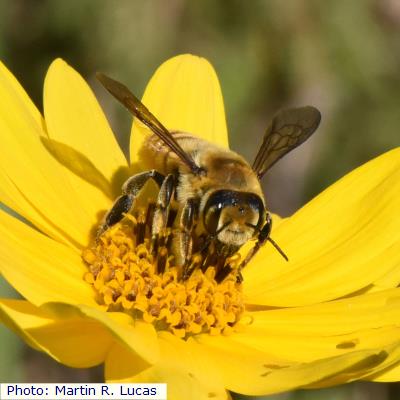
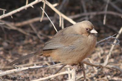
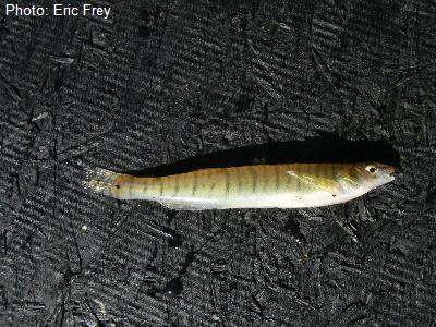
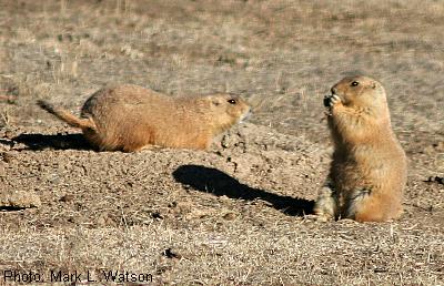
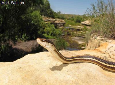
A total of 25 SGCN are found (either observed or with potential habitat) within the COA, including five classified as Conservation Impact Species (I) and six as Current Focal Species (F). This COA has high potential to contain microclimate refugia for amphibians and reptiles.
Habitat Name
Habitat Size in Hectares
Agricultural Vegetation
1859
Barren
42
Cliff, Scree, and Rock Vegetation
2
Desert Alkali-Saline Wetland
49
Developed and Urban
146
Great Plains Floodplain Forest
98
Great Plains Mixedgrass Prairie
203
Great Plains Ruderal Grassland and Shrubland
65
Great Plains Sand Grassland and Shrubland
3
Great Plains Shortgrass Prairie
6616
Great Plains Wet Meadow, Marsh, and Playa
1036
Intermountain Saltbush Shrubland
108
Introduced Riparian Vegetation
33
Open Water
537
Rocky Mountain Montane Shrubland
29
Rocky Mountain Piñon-Juniper Woodland
3
Southwest Lowland Riparian Shrubland
44
Species (SGCN)